

Near Star Map

คำอธิบายของNear Star Map
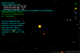
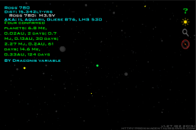
Explore local space with this handy 3D app! The Near Star Map is an easy-to-use 3D visualization tool for nearby stars within 50 light-years of Earth's solar system.
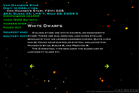
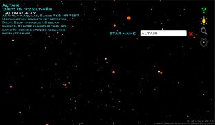
Rotate and zoom the display using touch controls. Tap a star to bring up a brief information display about the selected star system. A text search function is present for locating nearby stars by name or catalog number. Information is included about the individual stars and any known planets for each system. General educational information about star classification is also included.
Updates will add more distant stars to the database. Exoplanet information for all listed stars will be added as research data becomes available in the public domain. This informational product is not supported by advertisements and requires no special permissions to run.
Note: Larger screens provide the best viewing experience, but the app is routinely tested on screens from HVGA 480x320 to WXGA 1280x800.
สำรวจพื้นที่ท้องถิ่นกับ app นี้ 3D ที่มีประโยชน์! ใกล้ Star แผนที่เป็นที่ง่ายต่อการใช้เครื่องมือการสร้างภาพ 3 มิติสำหรับดาวที่อยู่ใกล้ภายใน 50 ปีแสงของระบบสุริยจักรวาลของโลก
หมุนและซูมการแสดงผลโดยใช้ระบบควบคุมแบบสัมผัส แตะดาวเพื่อนำมาขึ้นจอแสดงผลข้อมูลสั้น ๆ เกี่ยวกับระบบดาวที่เลือก ฟังก์ชั่นการค้นหาข้อความที่เป็นปัจจุบันสำหรับตำแหน่งดาวที่อยู่ใกล้โดยใช้ชื่อหรือจำนวนแคตตาล็อก ข้อมูลจะถูกรวมเกี่ยวกับดาวของแต่ละบุคคลและดาวเคราะห์ใด ๆ ที่รู้จักกันสำหรับแต่ละระบบ ข้อมูลการศึกษาทั่วไปเกี่ยวกับการจัดหมวดหมู่ดาวรวมทั้งยังเป็น
การปรับปรุงจะเพิ่มดาวห่างไกลมากขึ้นไปยังฐานข้อมูล ข้อมูลดาวเคราะห์นอกระบบดาวจดทะเบียนทั้งหมดจะถูกเพิ่มเป็นข้อมูลการวิจัยจะมีอยู่ในโดเมนสาธารณะ ผลิตภัณฑ์นี้ให้ข้อมูลไม่ได้รับการสนับสนุนโดยการโฆษณาและไม่ต้องมีสิทธิ์พิเศษในการเรียกใช้
หมายเหตุ: หน้าจอขนาดใหญ่ให้ประสบการณ์การรับชมที่ดีที่สุด แต่ app ที่มีการทดสอบเป็นประจำบนหน้าจอ HVGA ขนาด 480x320 จากการ WXGA 1280x800


